
Passage Planner - coming soon
by Hartshorne Marine
Plan your ocean passage before you leave, with no signal needed.
Before any ocean delivery I sit down with the pilot charts. What's the wind likely to do this month, which way is the current setting, how often does it blow a gale, and how long will it really take? Then I work out the distance and the route. Passage Planner puts that homework on your phone, worldwide, and it works offline.
What it does
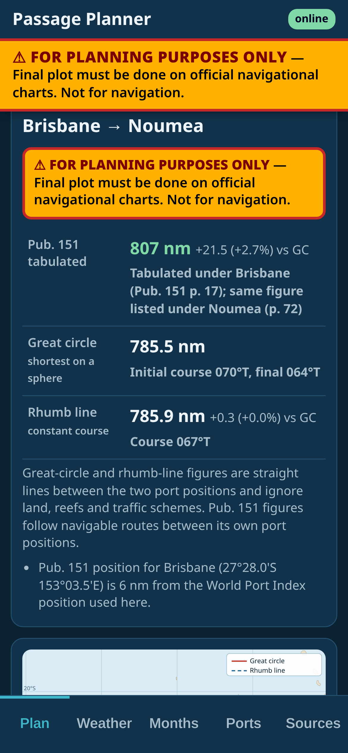
Port to port distances, working now. Search 3,975 ports from the NGA World Port Index and Pub 151 Distances Between Ports. Pick any two and see the published Pub 151 distance beside the great circle and rhumb line distances.
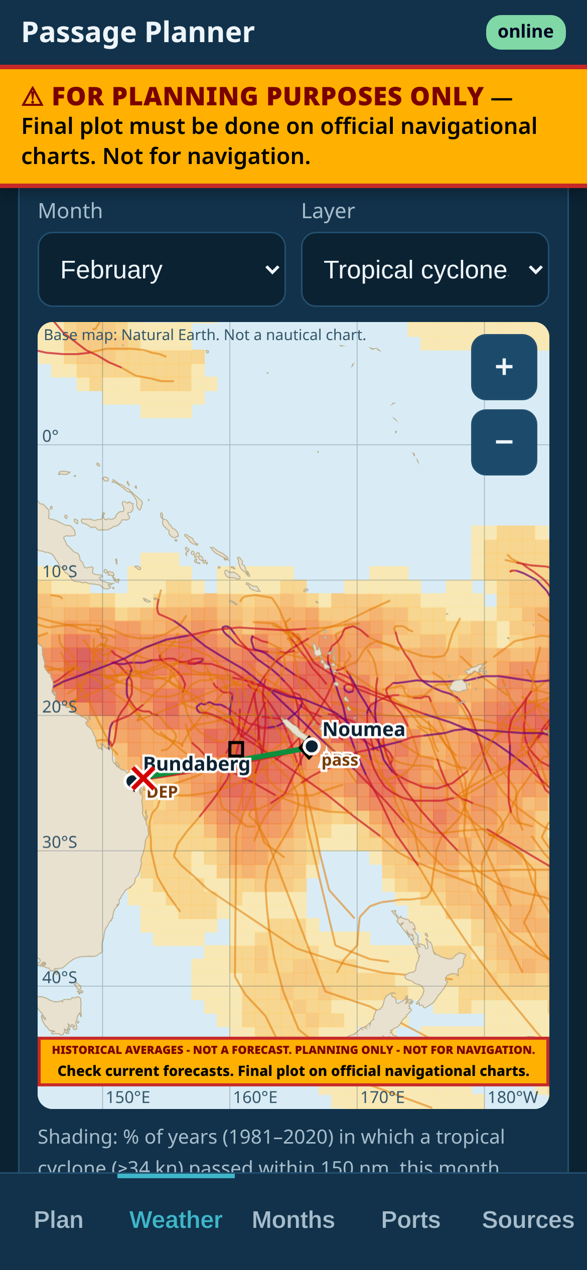
The pilot charts, month by month. Built from the same public-domain ship observations and US Government data used for traditional pilot charts (NOAA, NASA and NGA): monthly winds, currents, gales, waves and temperatures.
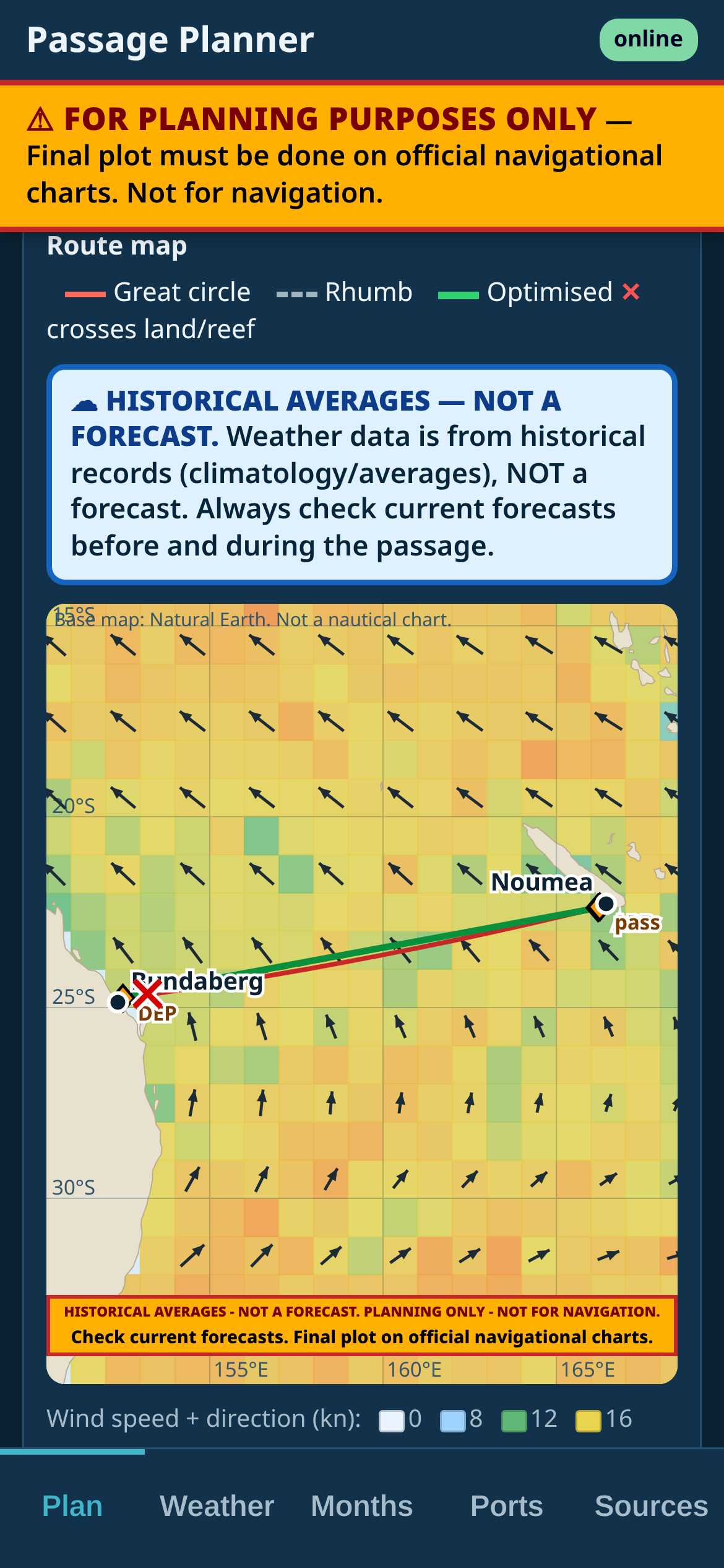
Routes. Great circle, rhumb line and optimised routes.
Your boat's numbers. Load your boat's polars and see passage times by month.
A plan you can print. Printable passage plans to take aboard.
Built for sea. Works offline, so it's there when the signal isn't.
Who it's for
Bluewater cruisers, ocean passage makers, delivery skippers and crew, and anyone planning an ocean crossing under sail or power.
Coming to iPhone and Android.
Guide only
Planning aid only, not for navigation. Passage Planner is a guide for planning before you go. Pilot-chart data shows long-term averages, not the weather you'll get, and the distances are straight lines between port positions that ignore land, reefs and traffic schemes. Use official, corrected charts and publications, get a proper forecast, and rely on good seamanship.
Need a boat moved? I deliver yachts and motor cruisers coastal and offshore. Get a delivery quote